Friday, February 21, 2020

Harding Icefield


The Harding Icefield: A shrinking landscape on the Kenai Peninsula (FWS - pdf)

There’s something as big as the island of Maui on the Kenai Peninsula that many locals have not seen or not seen well. Unless you’re a pilot, your exposure to this mystery blob has likely been constrained to the hiking trail at Exit Glacier, or perhaps to viewing the tidewater glaciers in Northwestern Fjord from a commercial tour boat, or perhaps to the edge of Skilak Glacier if you’re hunting sheep or goat. These glaciers, as big as they seem, are three slivers among the more than 30 glaciers that feed off the Harding Icefield.

The icefield embraces Truuli Peak, the highest point in the Kenai Mountains at 6,612 feet above sea level, suggesting that the Harding is likely a mile deep in some places.

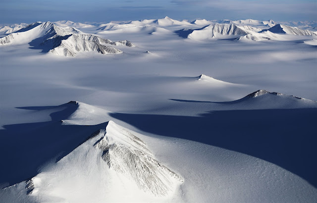
Image: Mario Tama/Getty Images
[ed. This isn't the Harding but it's the best photograph I could find that really captures what it looks like. One of the most stunning and humbling places I've ever visited in Alaska - horizon to horizon, as far as you can see, just snow and ice and emergent mountaintops.]